Show entrances
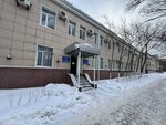
Çkalova street, 10
Çkalova street, 10, Karagandy
Coordinates:
clipboard
Directions
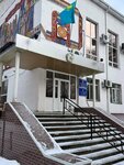
Медицинское училище
45 m
Businesses in the building
Information and Computing Center of the Bureau of National Statistics of the Agency for Strategic Planning and Reforms of the Republic of Kazakhstan, branch of the Karaganda region
Information and Computing Center of the Bureau of National Statistics of the Agency for Strategic Planning and Reforms of the Republic of Kazakhstan, branch of the Karaganda region
Closed until Monday
